Brahmagiri Trek
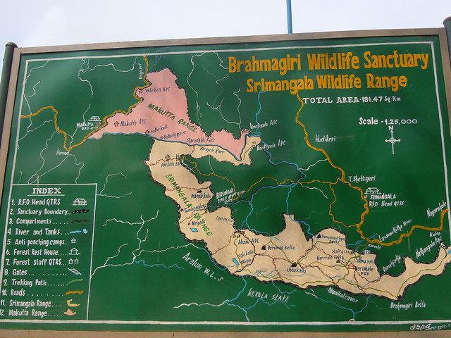
Brahmagiri peak(1602m) is located in the southern part of Kodagu(Coorg) district. It is part of the Brahmagiri Wildlife Sanctuary which is spread over 181 sqkms.
Prior permission from Karnataka Forest Department is needed for this trek and for the night halt at Narimale Forest Rest House.
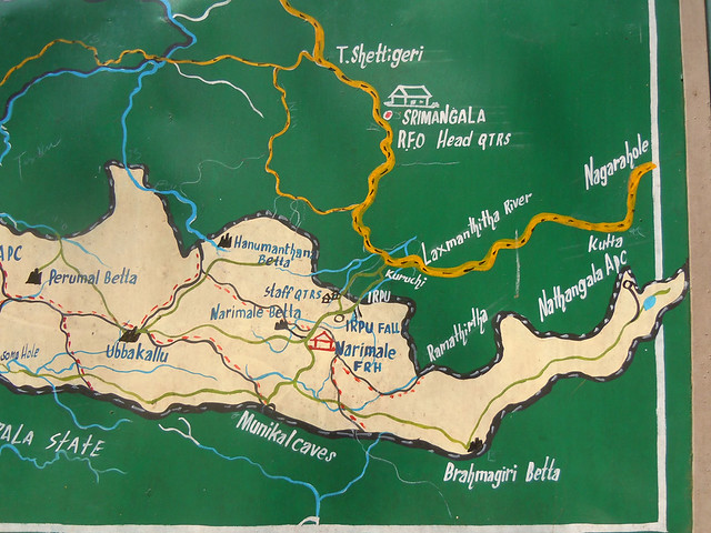
Brahmagiri Trek comprises of a total hike of around 22kms (11kms up and same 11kms for descent). The only mode of accommodation or night halt is the Forest Rest House at Narimale, which is around 5kms from the base of the trek and 6kms from the top of Brahmagiri betta. Base of the trek happens to the magnificent Irupu waterfall.
Trek is split in two parts, first one is the hike of 5kms from the base to the Narimale Forest Rest House and next is the hike of 6kms to the Brahmagiri peak.
Map gives a fair idea of the route.
Night halt at Brahmagiri peak is prohibited by the forest department(allowed only at the Narimale Forest Rest House). So the best way to plan this trek is to reach the Narimale Forest Rest House by afternoon of day 1 and then trek to Brahmagiri betta on the morning of day 2.
Best route to reach Irupu from Bangalore(284kms) is to reach Gonikoppal via mysore - hunsur and then turn left towards Srimangala. Gonikoppal is a good place for a filling breakfast.
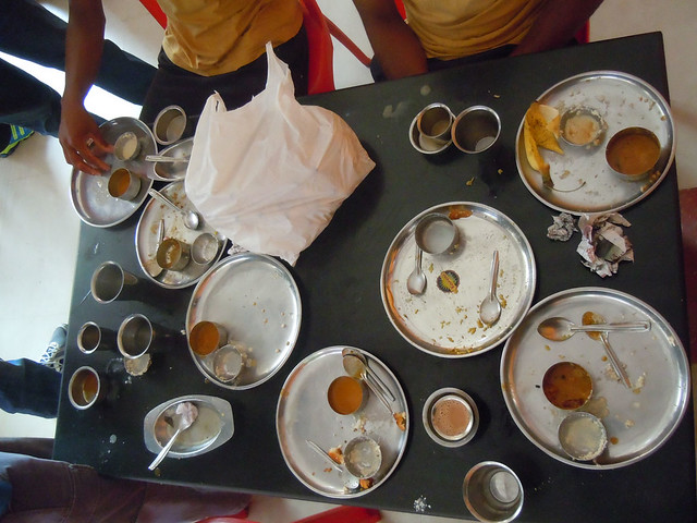
We a group of 14 started the trek on Saturday morning from the Irupu waterfall. Well, we skipped the visit to waterfall and started the trek right-away. More on waterfall later.
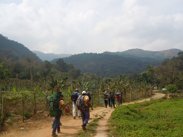
Small hanging bridge over the Laxmantirtha river. It originates from Brahmagiri and on its way down becomes Irupu waterfall.
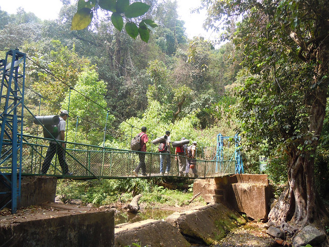
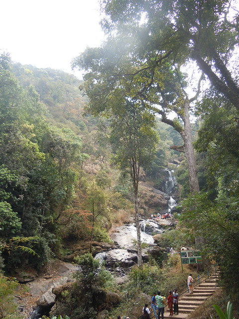
Steps leading to the Irupu waterfall.
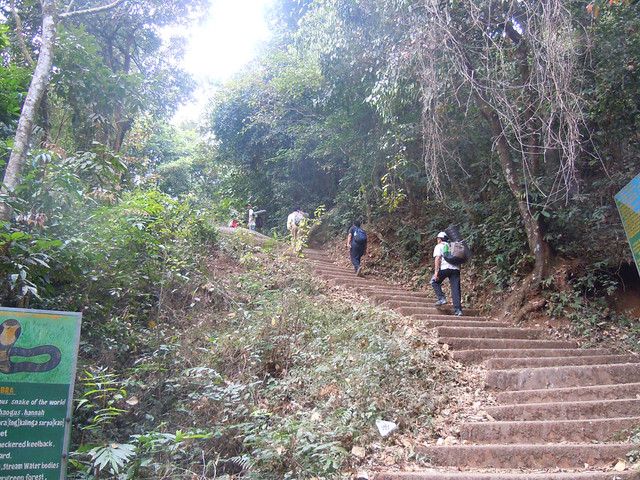
Into the forests.
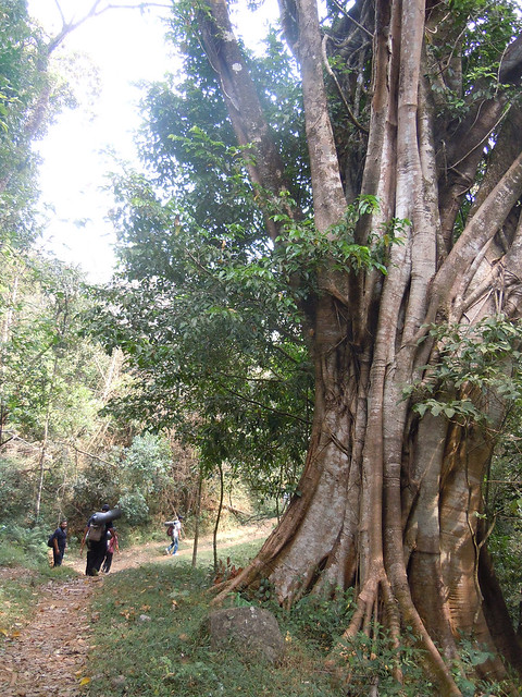
Initial trail is a little steep and covered with fallen leaves, making it pretty slippery.
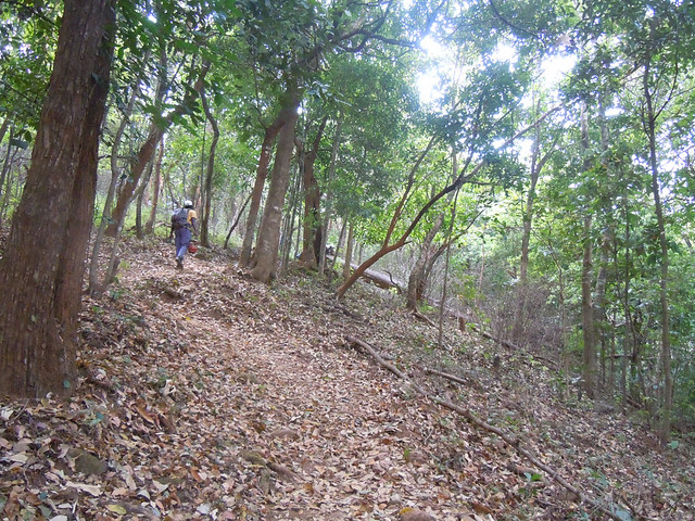
Later on the trail becomes much easier to walk.
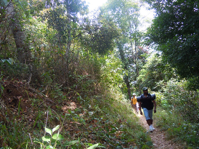
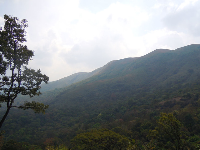
After a while covered under the forest, the trail opens up to some magnificent views.
This is one among the several water streams which makeup the Laxmantirtha river.
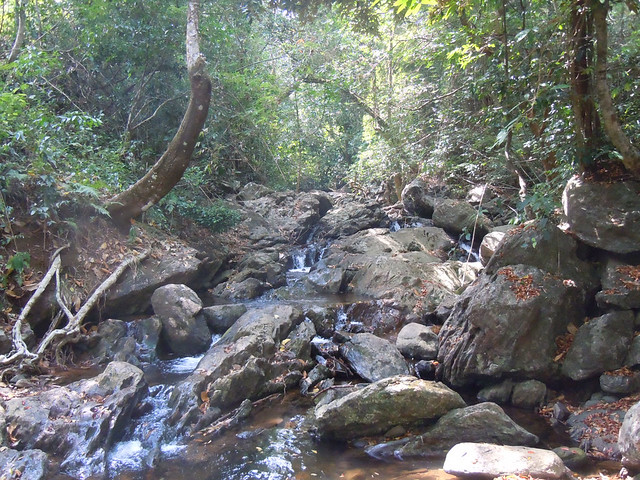
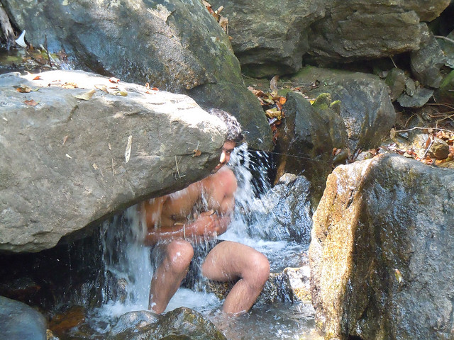
A good place to cool off.
After the water stream, the trail again opens up. The Narimale Forest Rest House is behind the rock.
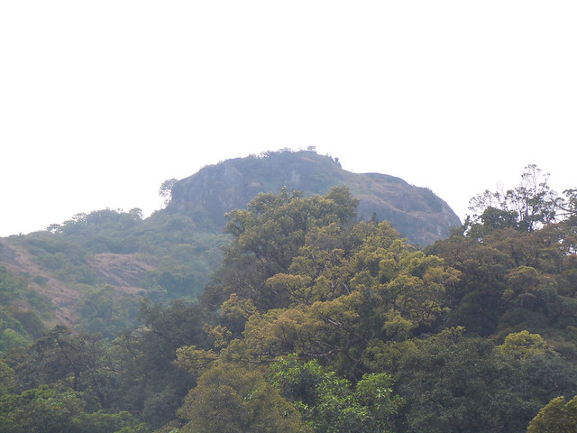
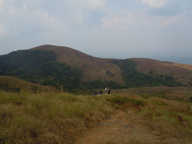
Now onwards, welcome to the land of amazing scenery.
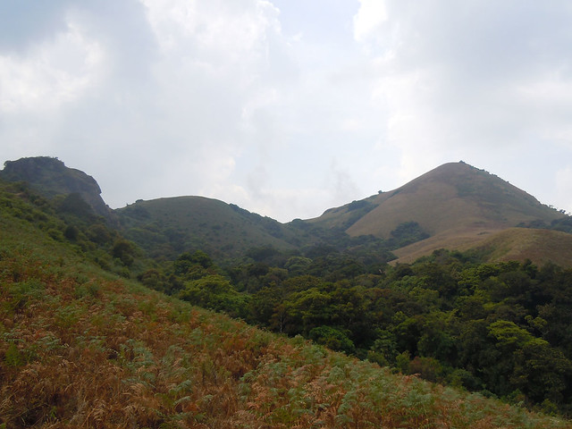
Trekkers taking a grasp of this breathtaking natural beauty.
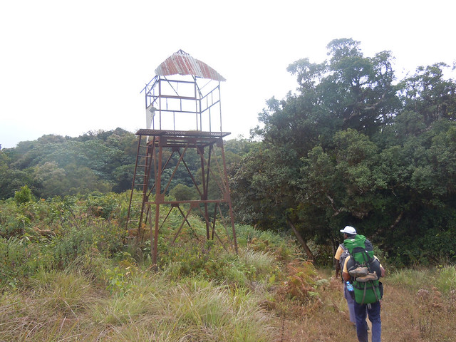
The trail further passes through a not-maintained and abandoned watch tower. From here the rest house of only couple of minutes away.
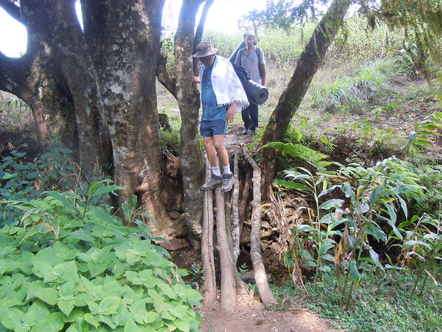
Water crossing before the rest house.
Narimale Forest Rest House is an old bungalow converted into a rest house. It has two rooms and a hall, with an outdoor cooking area. The number of people allowed for the night halt is controlled by the forest department and is just enough to accommodate the people in the rooms and the hall. Wild animals make frequent visits to this place. All the windows are sealed for safety.
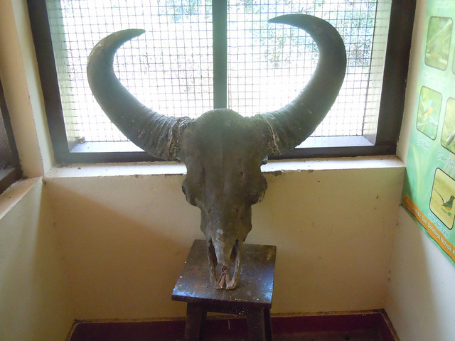
Massive Baisan head at the rest house.
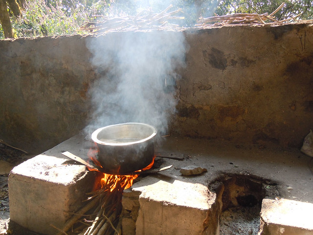
Well, cooking area is the best part of the rest house. It has plenty of space for cooking as well as for people to sit around and gupshup.
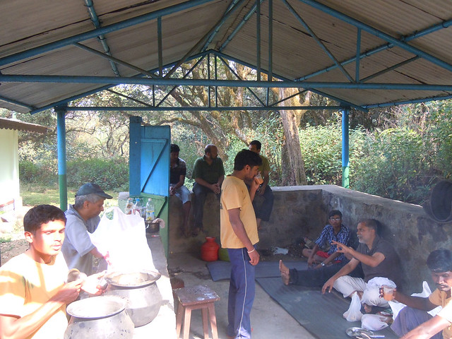
Cooking in progress.
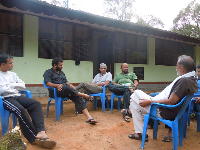
Rest house has a piece of flat land which is another good place to chit-chat about anything and everything in the world.
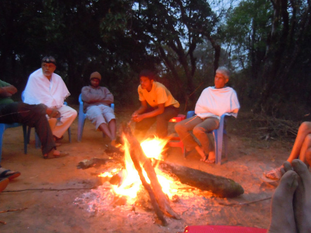
Campfire is another attraction. Getting the dry wood is very easy as lot of fallen and dead trees are lying in the thick vegetation surrounding the rest house. Around this campfire we had one of the most invigorating and in-conclusive discussions on ant behavior :D(I am sure it will make sense to ppl who were part of it)
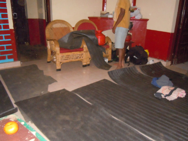
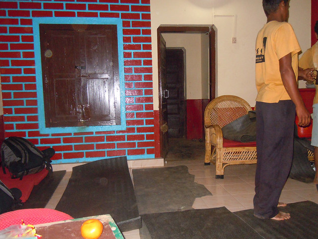
Rooms are pretty basic.
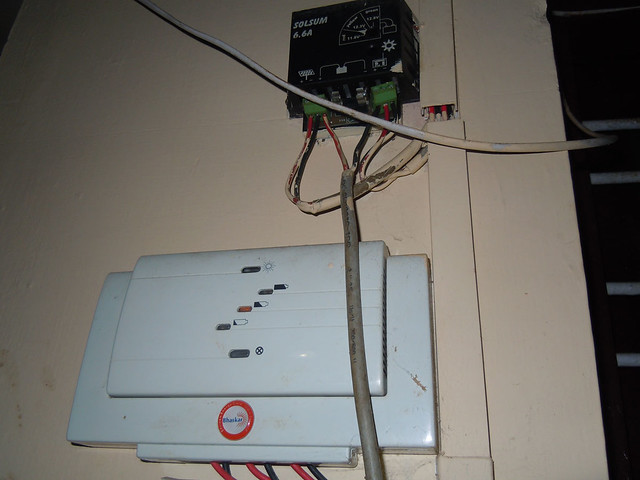
The rest house is equipped with working solar panels and power is not a problem in the night. (Electric poles have not yet spoiled this area)
It is advisable to carry sleeping mats.
There is a small water stream nearby, which should be used for all kinds of water needs as there is no direct water supply from stream to the rest house.
Day 2
Morning in the forest are always spectacular, no doubts about this one as well. Trekkers warming up with morning campfire and tea.
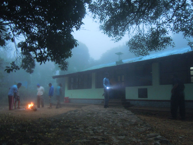
Heading out.
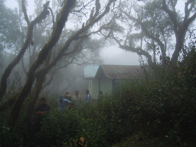
Mini water crossing.
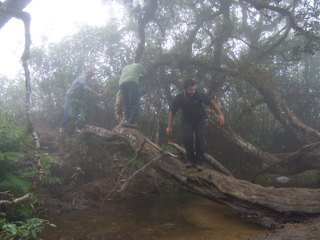
Our morning hike was mostly fogged out.
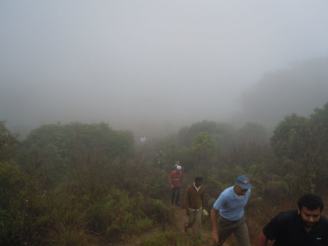
Fog can be a little disorienting. Karnataka-Kerala border passes through this region. One wrong turn can take you to a completely different peak :D
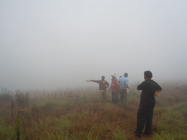
On the way to Brahmagiri peak, we encounter these two wide passages which pretty much look like alien creations from the top. But, actually these mark the Karnataka-Kerala border.
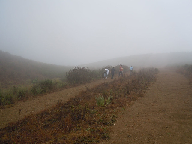
Last stretch of the hike is a very steep hike of around a km. The hike is quite steep and slippery.
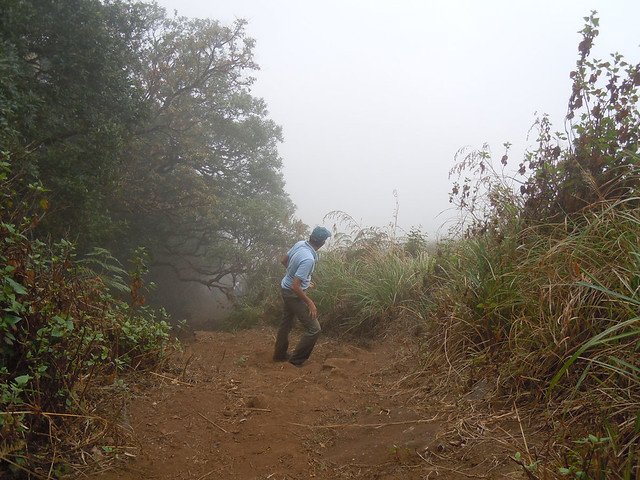
We reached the peak, but nobody could believe, that we were on the peak, well everything was fogged out.
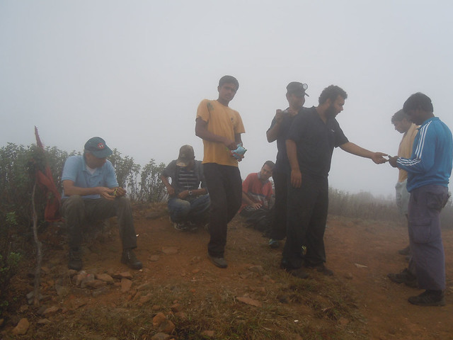
Steep incline made things only more difficult while the descent.
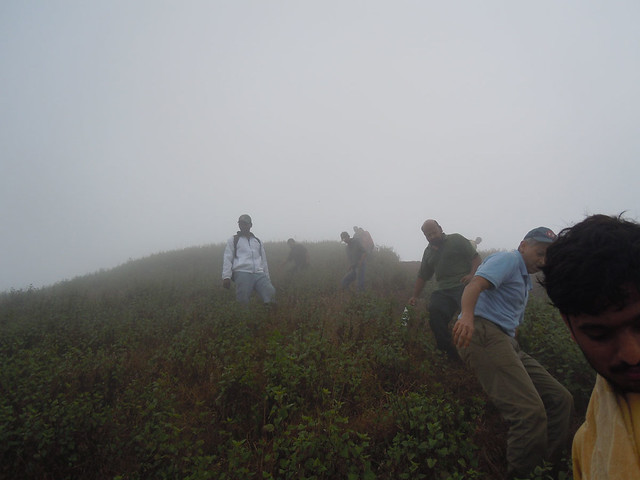
The top of this hill is the Brahmagiri peak. The hill suddenly rises out of the ground from no-where and I guess making it the steepest hike in the coorg region.
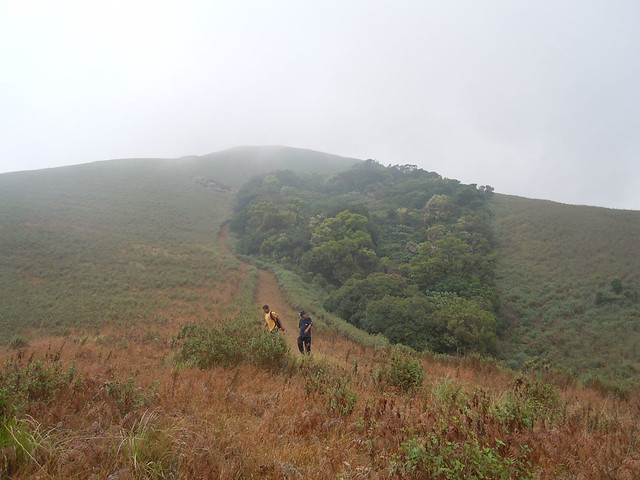
Trekkers enjoying the view and marveling at the work done by forest department to create this Karnataka kerala border as seen left to the thick vegetation in the photograph.
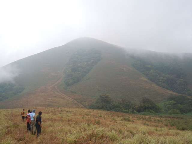
Trekkers on their way down.
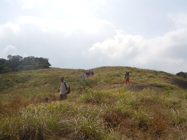
By the time we were midway in our descent, fog had completely lifted and we were again greeted with the awesome beauty of nature.
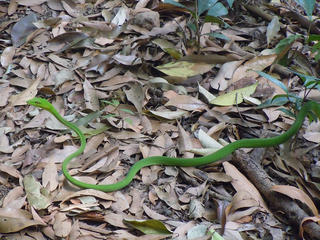
For a change we spotted this baby green snake on our way back. It was quite inquisitive looking at some other kind of animals(us).
Finally we finished of the trek with this magical view of the Irupu waterfall.
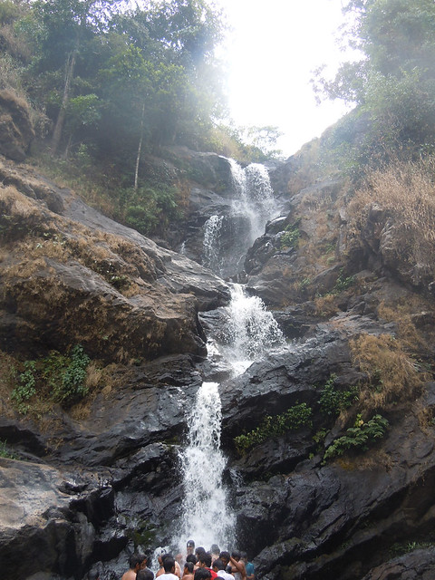
To be honest, it was crowded, crowded with lots and lots of people. There was actually a queue of people who wanted to get under the waterfall.
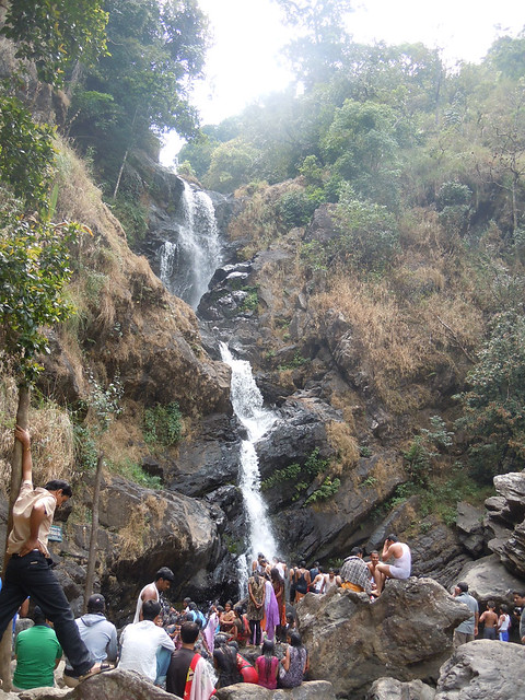
We decided to go downstream and found this wonderful place to cool ourselves off.
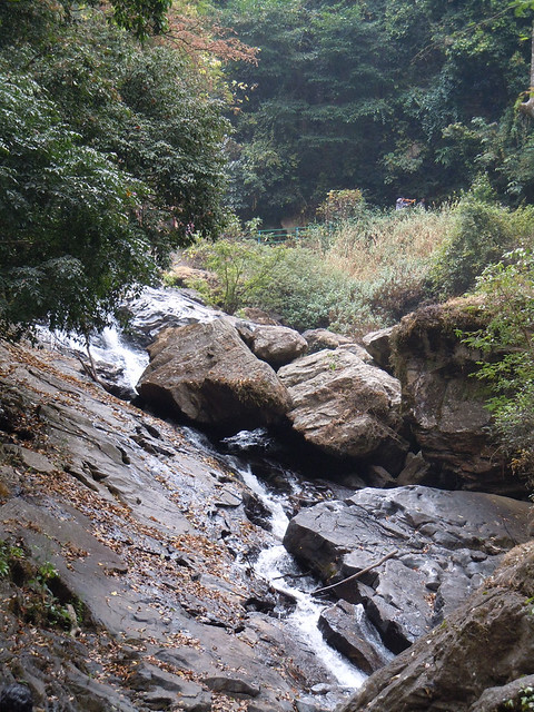
A clean and cool end to an awesome and beautiful trek.
Brahmagiri trek experience by Badri in Tamil
http://www.badriseshadri.in/2012/02/blog-post_13.html
